Peru Utility DX Photos
Photos and QSLs from Peru of interest to the utility DXer.
Utility Frequencies in Peru
Before I get to the photos, I want to point out that the Peruvian Ministry of Transport and Communications has
an excellant website where you can actually get official listings by type of station. It's all in Spanish, of course, so I'll explain how to use it. Many of the types only pertain to VHF or higher. Below is a list of the ones that have longwave or shortwave frequencies. And be sure to read my comments on "Fijo Terrestre" before searching for that one!
To use the MTC website, select one or more types under "servicios". Leave the "Nacional" radio button selected. In the "Rango de Frecuencias" boxes put "0" at the lower end and "30" at the upper end.
Fijo Aeronautico - Fixed Aeronautical. Lists stations using several HF frequencies. I believe these are for communication between ground stations.
Movil Aeronautico - Mobile Aeronautical. Lists stations using several other HF frequencies. I believe these are for communciation between ground stations and planes in the air.
Radionavegacion Aeronautico - Radio Navigation - lists longwave beacons in Peru plus some additional stuff on VHF.
Movil Maritimo - Mobile Maritime. Listings of various stations using several martime frequencies.
Movil Terrestre - Mobile Terrestrial. Listings of stations on several frequencies.
Fijo Terrestre - Fixed Terrestrial. I intentionally am listing this one last. You will need to search this one in smaller frequency chunks. I suggest doing 0-5 MHz and then in chunks of two or three MHz in width. The reason is that among the things listed here are stations used by the Ministry of Health (Ministerio de Salud) in every office in the entire country, of which there must be over a thousand. If you try to do 0-30 MHz, the search will eventually crap out on you.
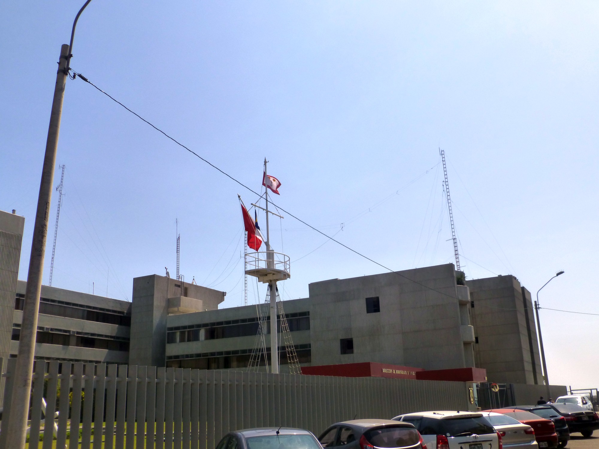
Maritime DX
OBC Callao Radio in Peru
 See this on Google Street View
Aeronautical DX - Peru
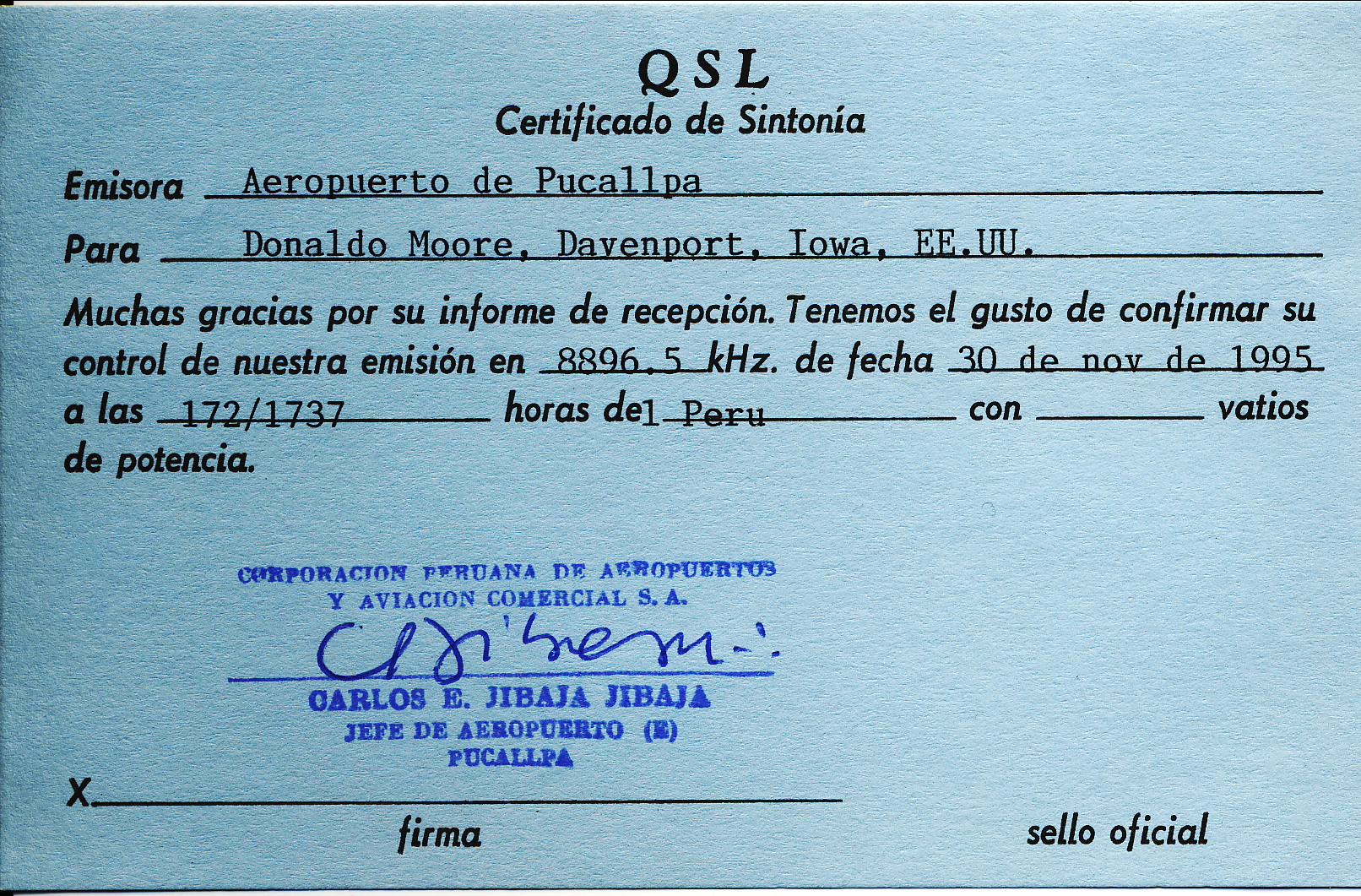
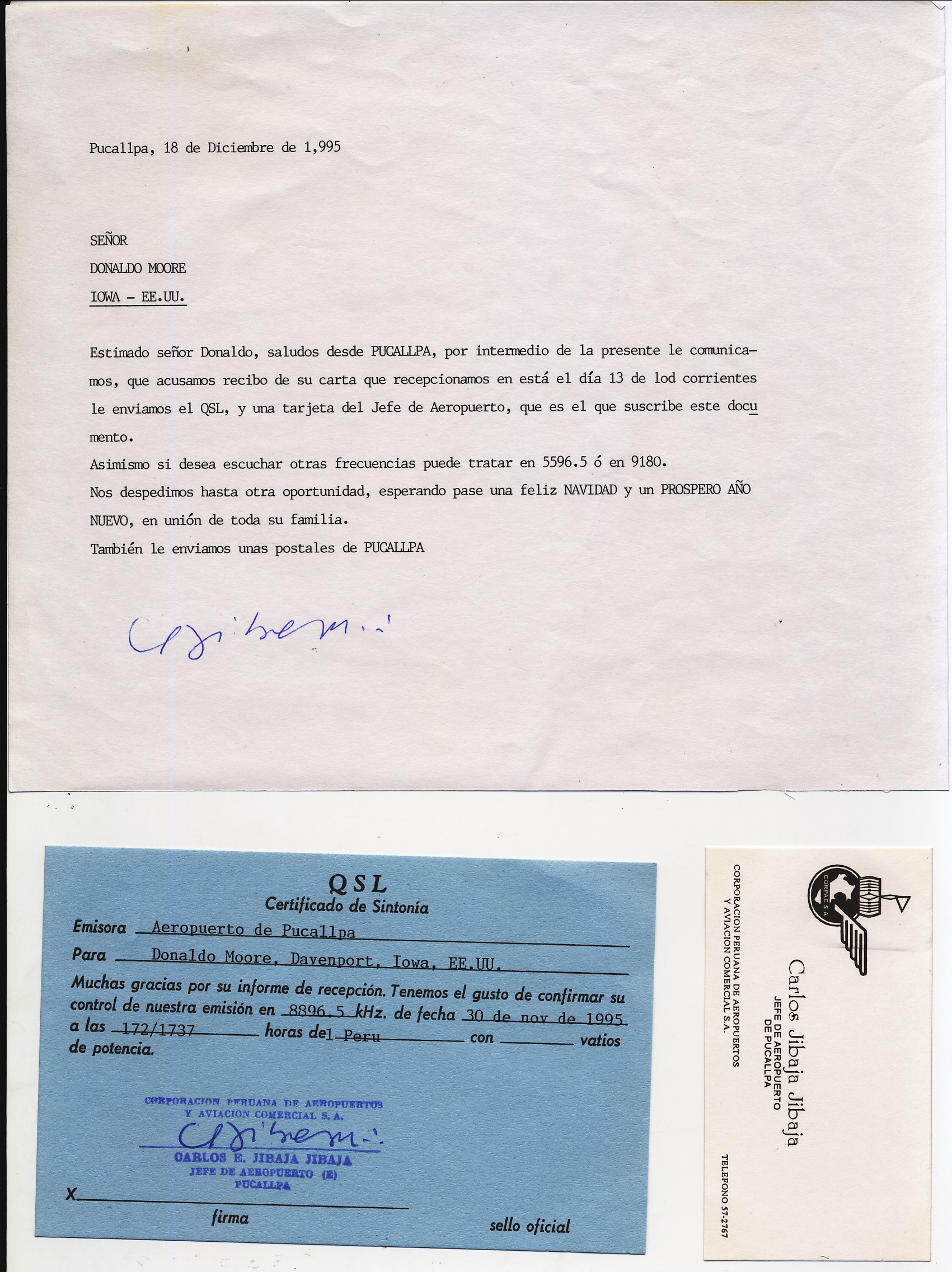
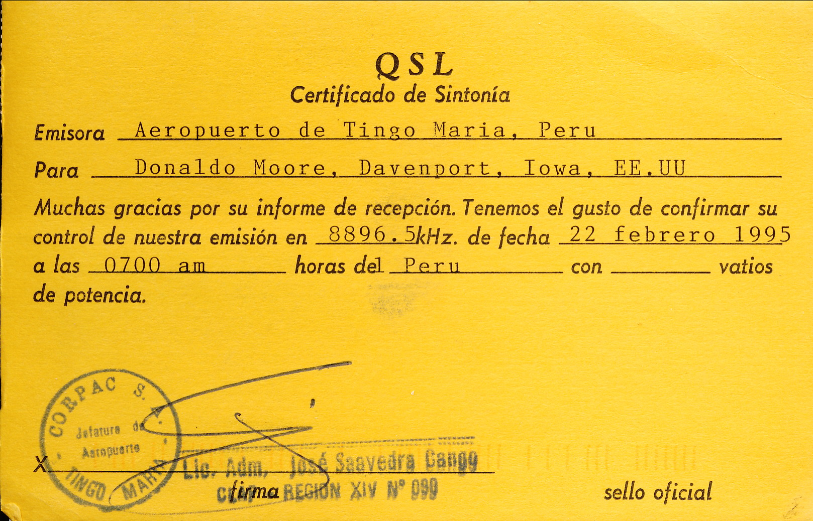
In the 1990s around twenty airports in northern and central Peru were regularly heard on the frequency of 8896.5 kHz. At the time the airports used the frequency to exchange information about arrivals and departures. I have recordings of two of my catches from that time period. According to the Peruvian Ministry of Transport only a few airports in the eastern jungles are still listed as using the frequency. I suspect it must only be used as a backup today as I did not hear a thing in several hours of monitoring while in Peru in 2017-2018.
Audio - 1995 Traffic between Chachapoyas and Lima Airports
Audio - 1996 Traffic between Yurimaguas and Lima Airports
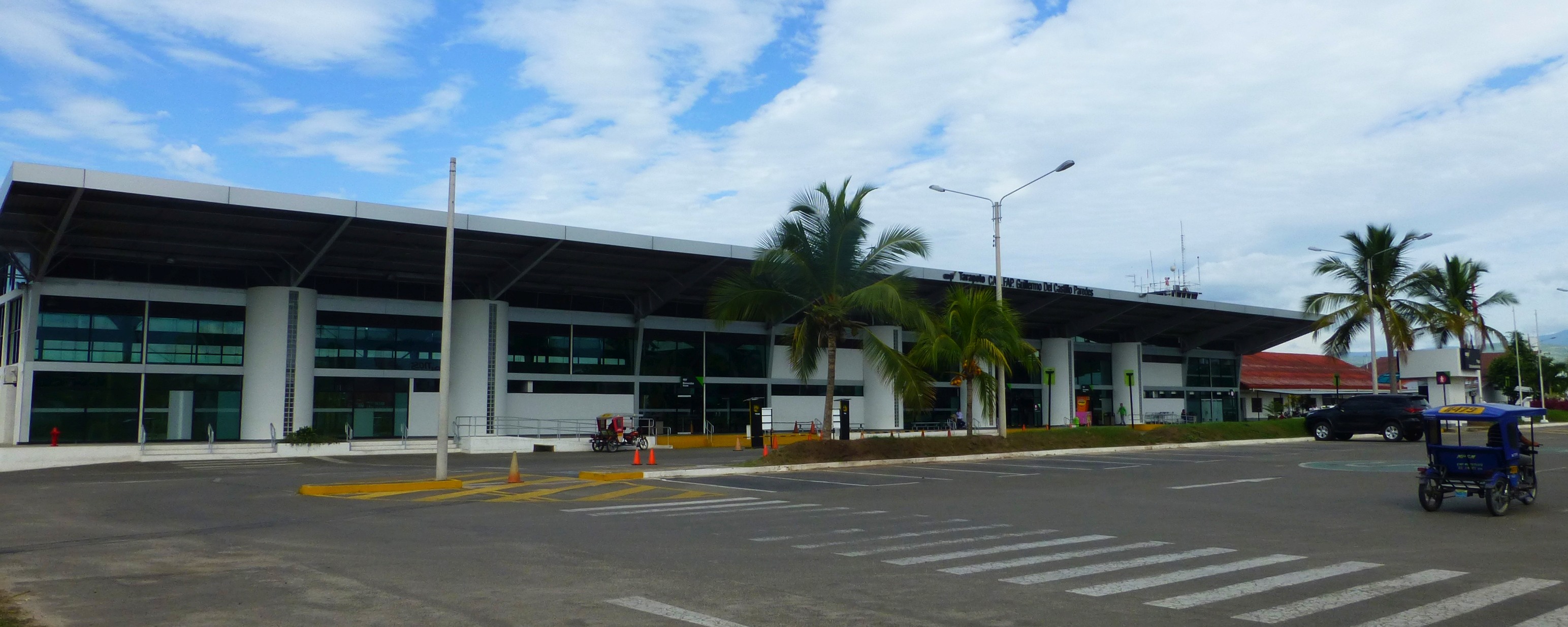
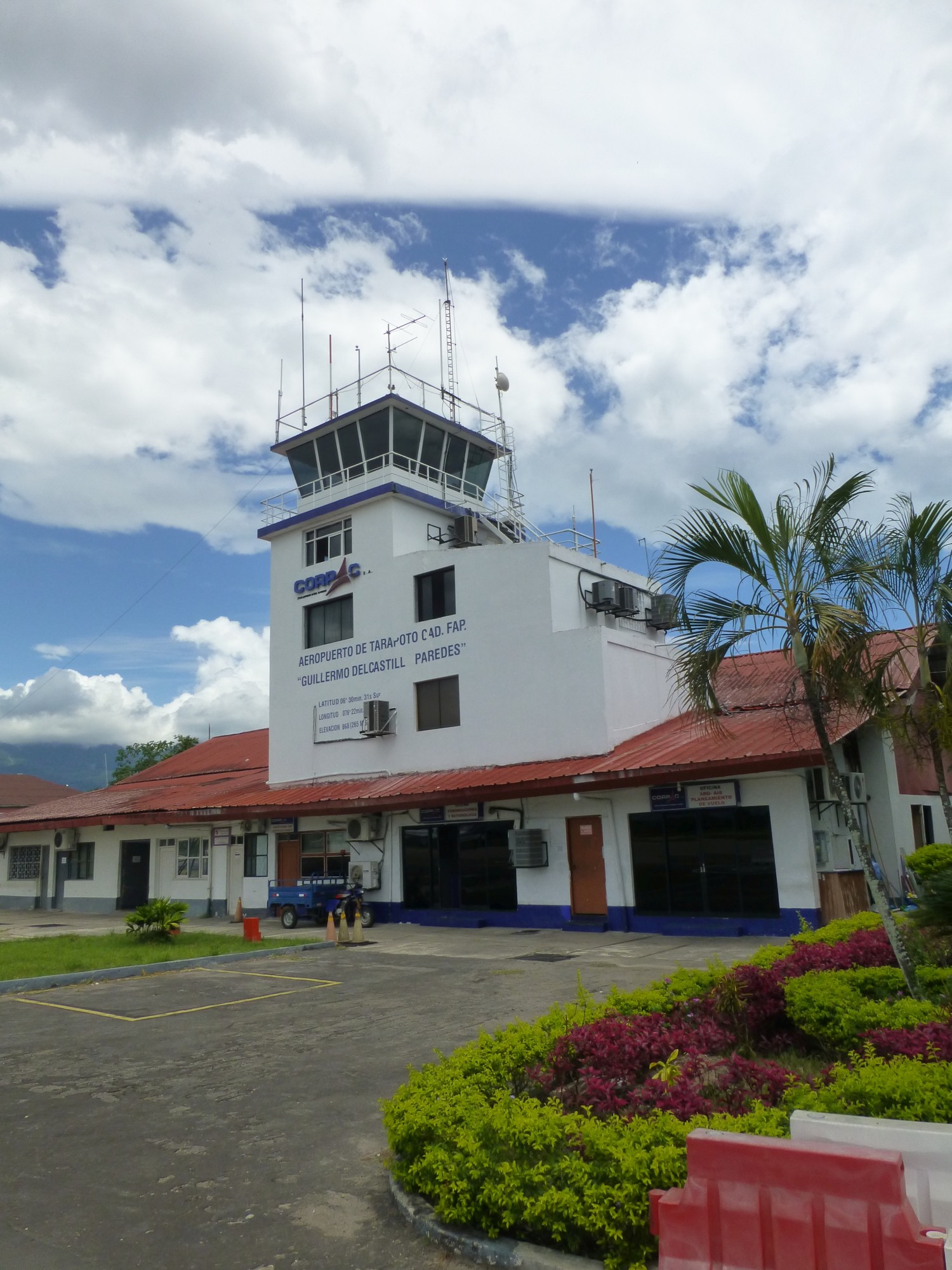
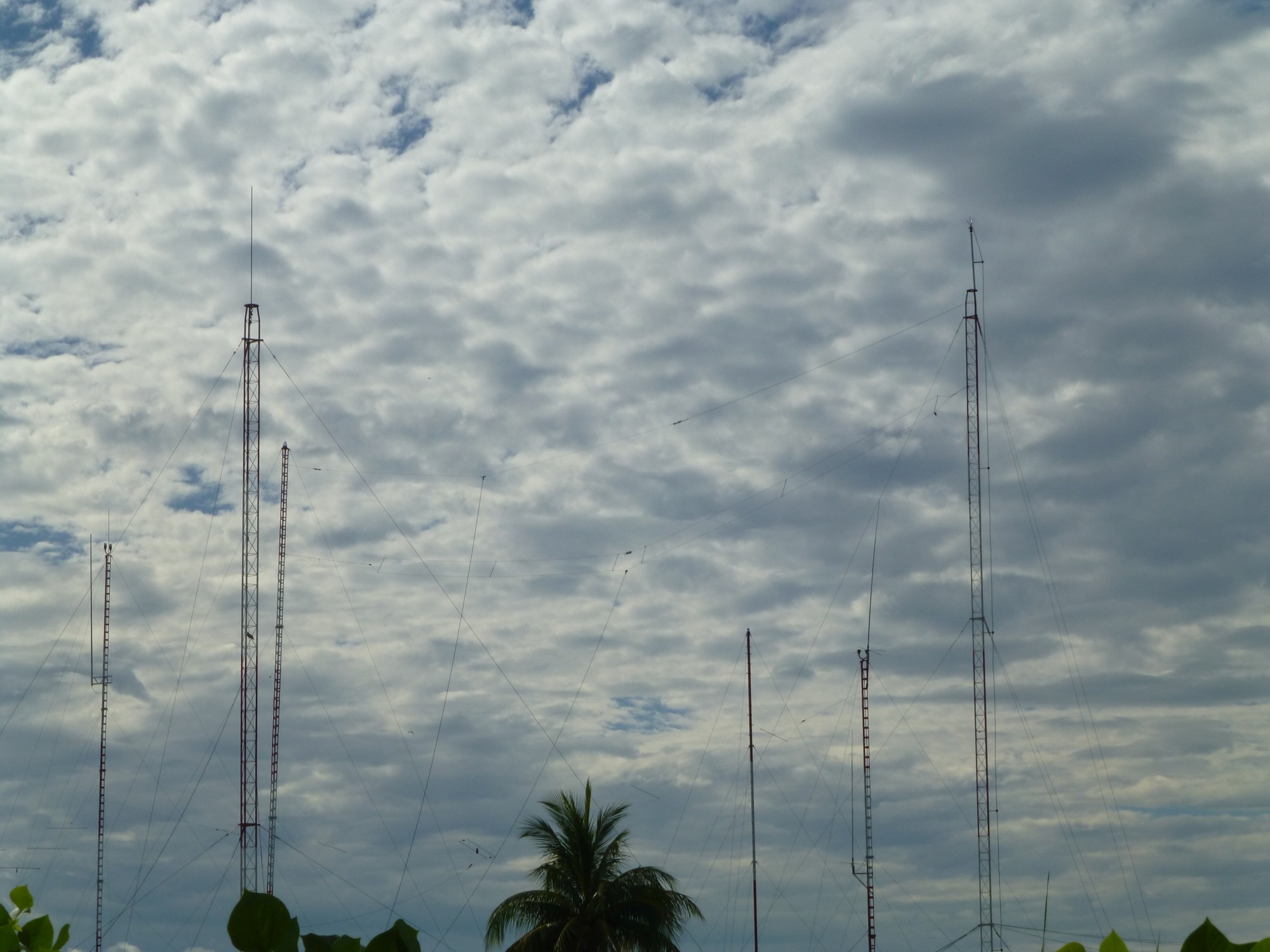
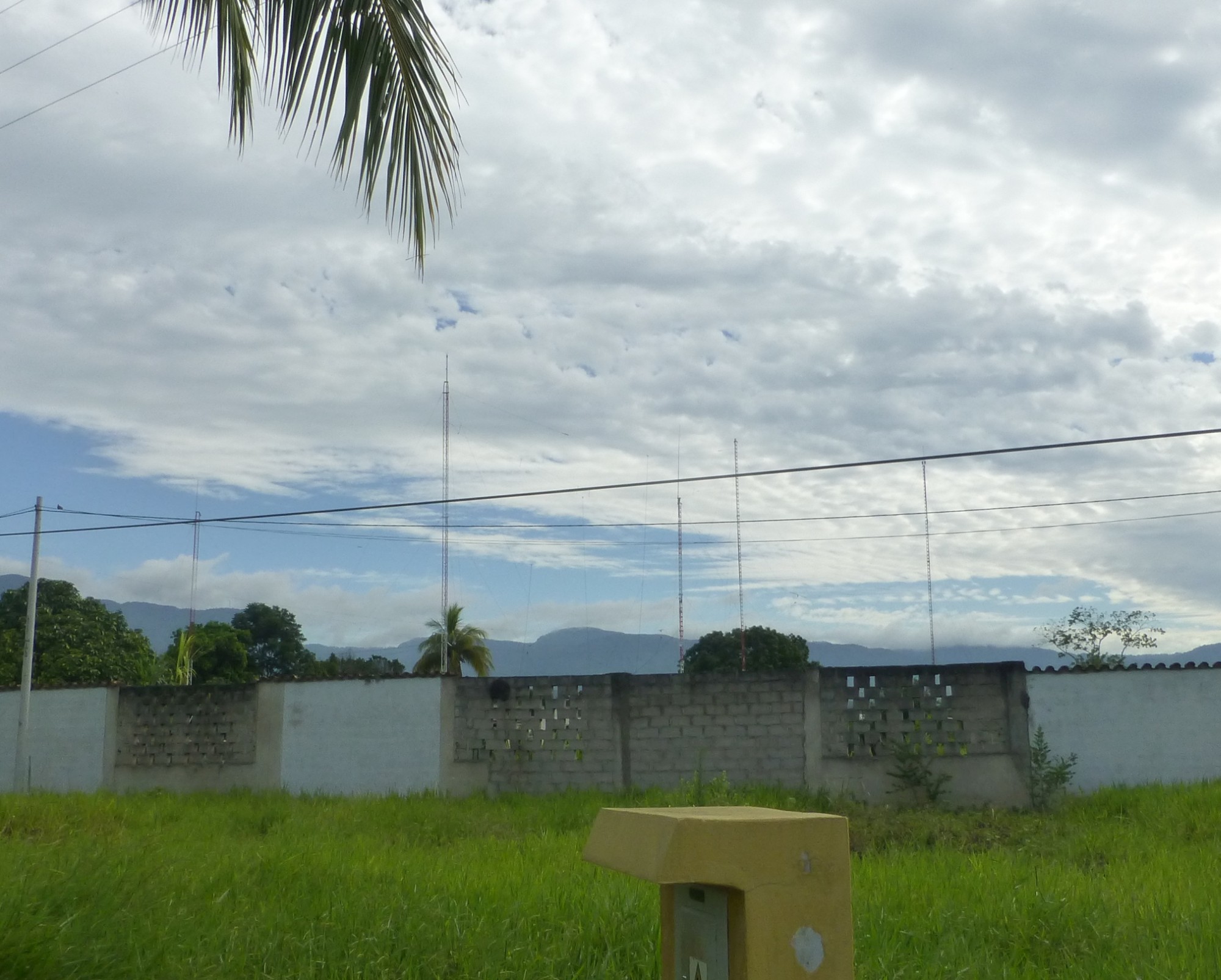
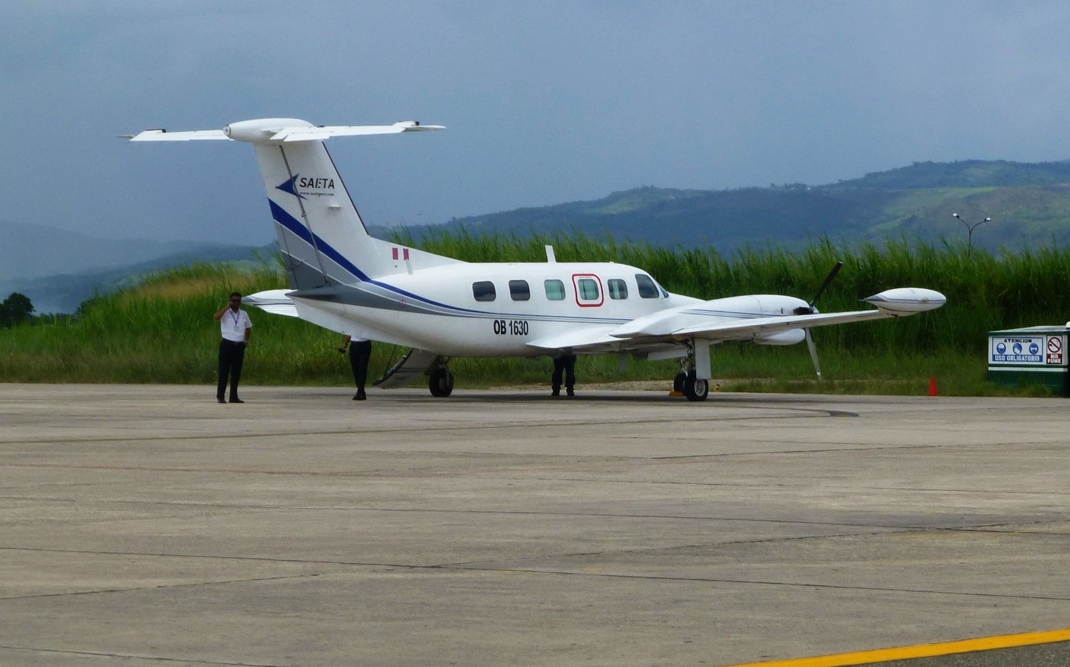
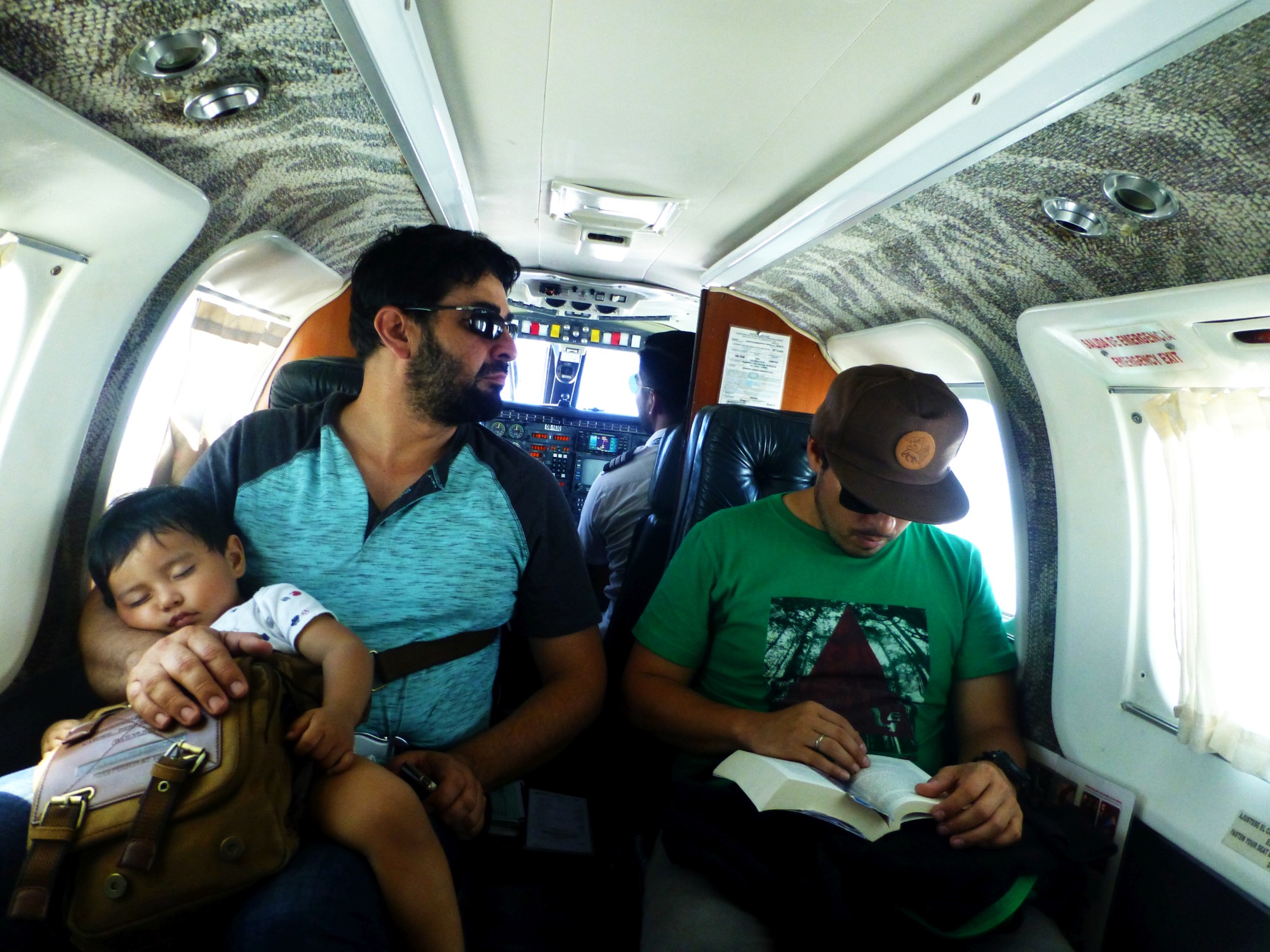
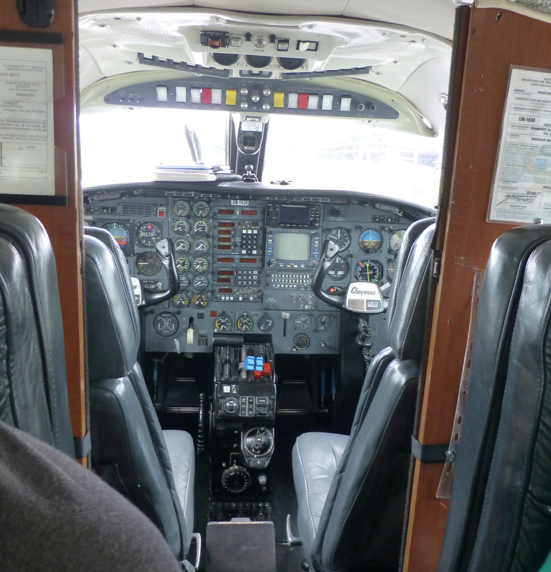
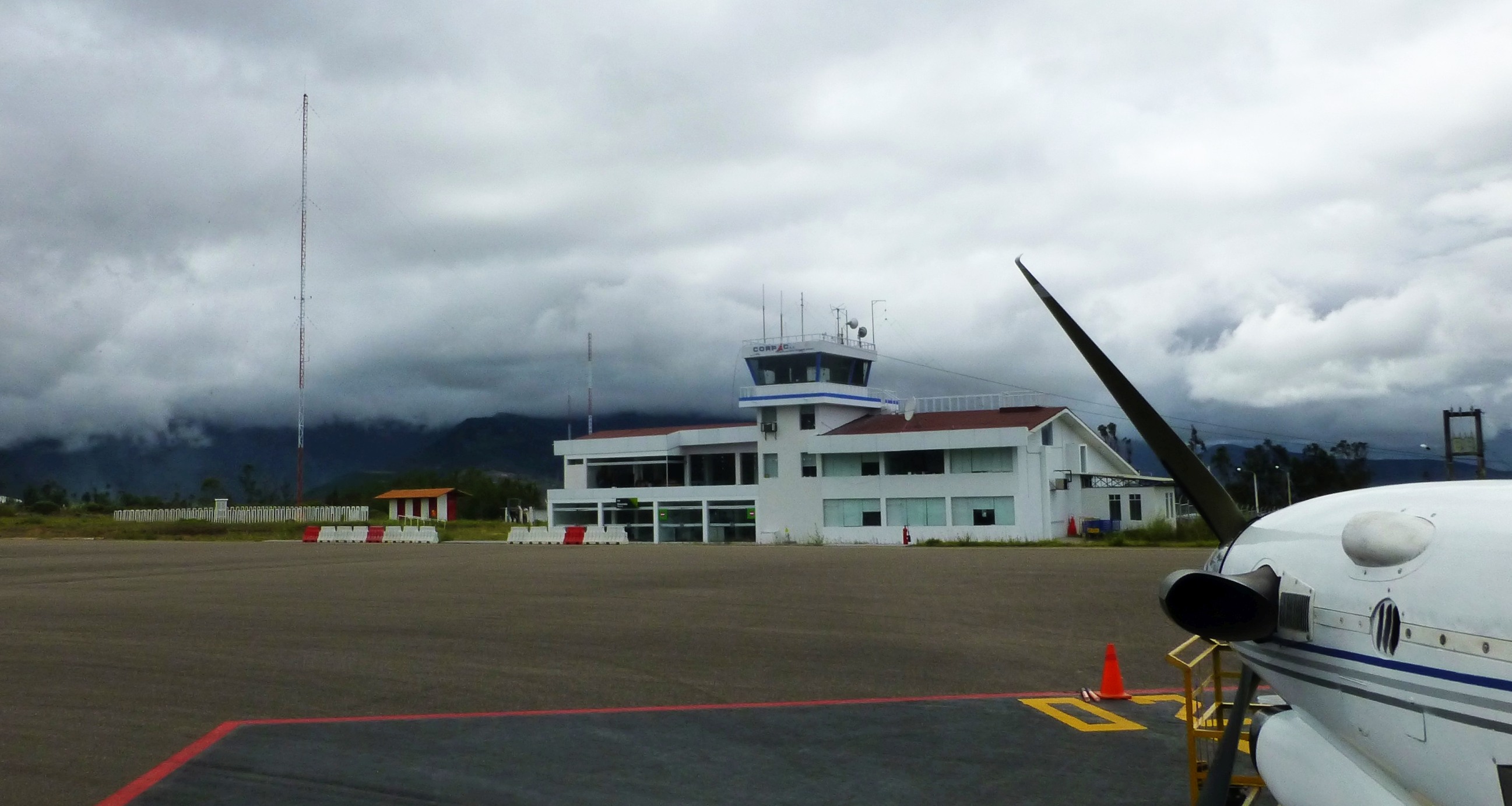
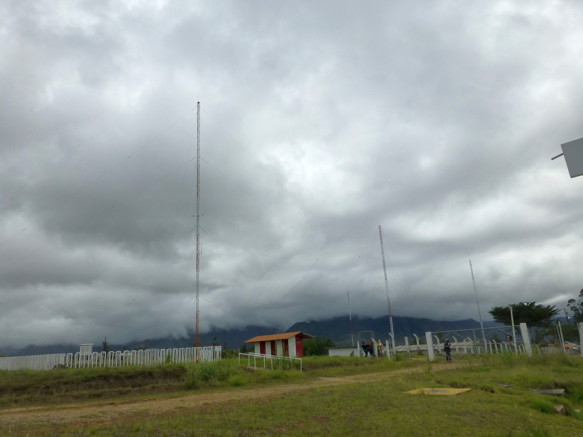
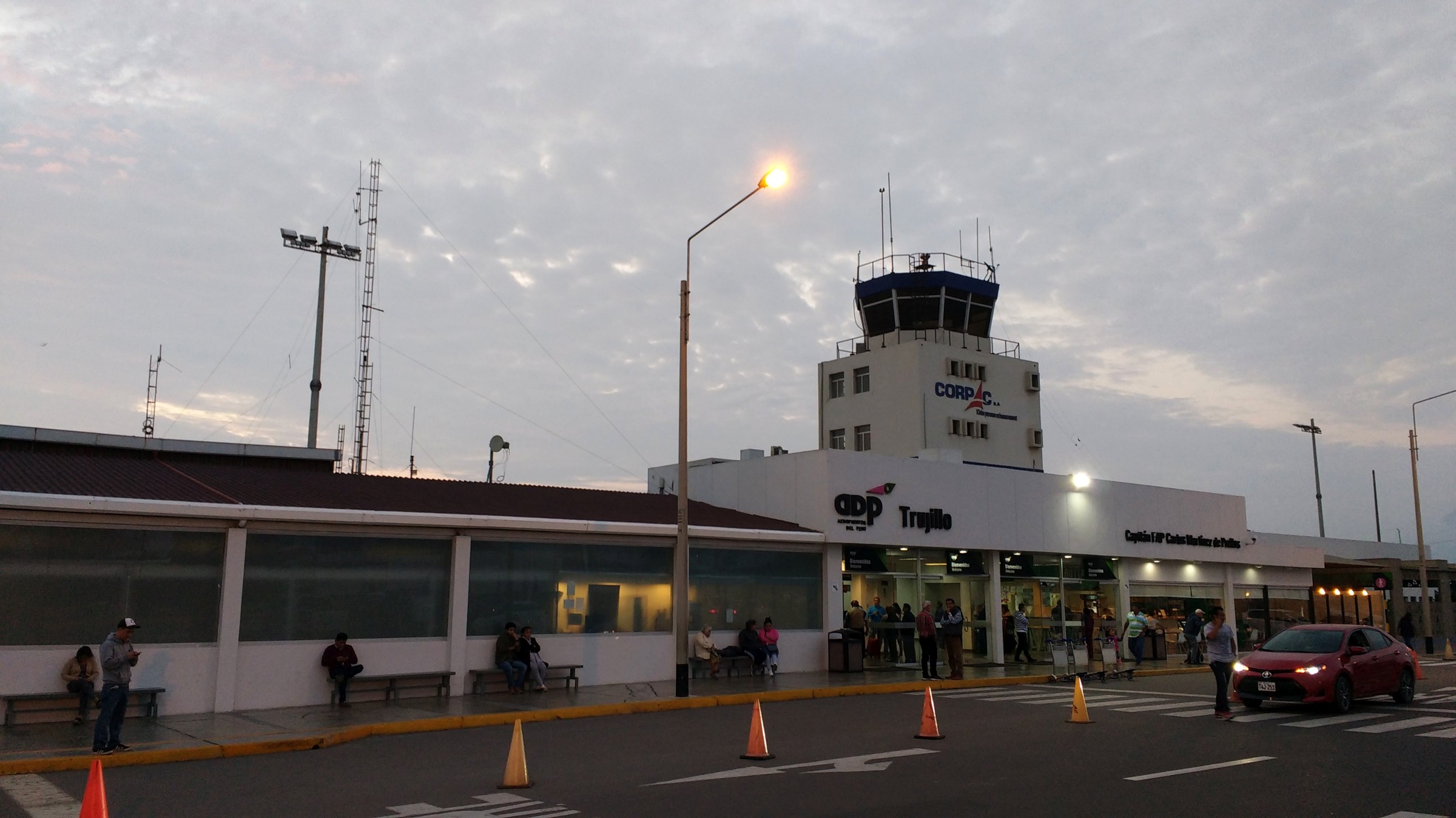
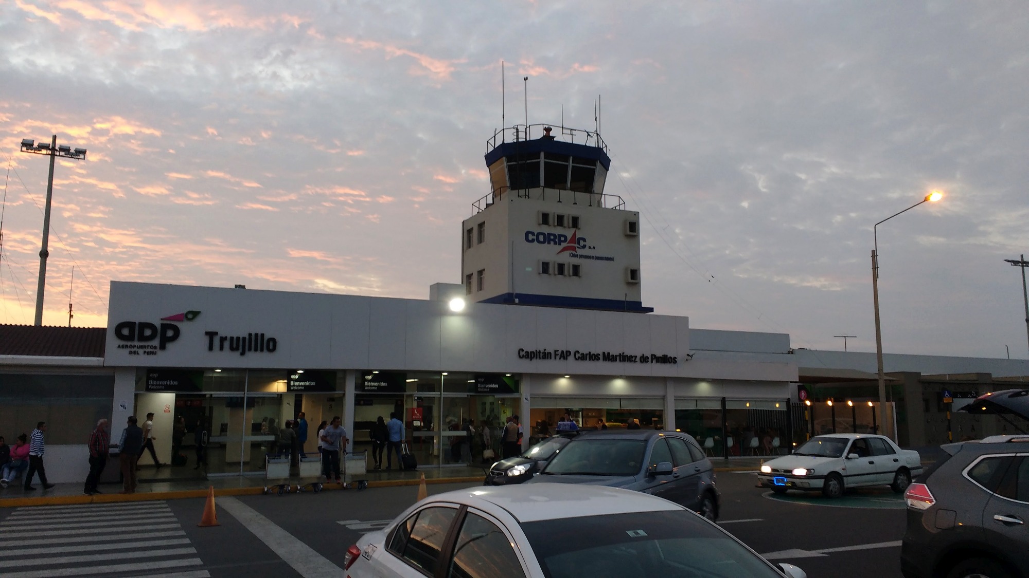
In December 2017, I flew between two of the airports I used to hear - Tarapoto and Chachapoyas - in a Piper Cheyenne III. Take a look at Chachapoyas airport on Google 3D View. It literally is on the top of a mountain. Both airports still have their HF antenna farms, although only Tarapoto is still listed on the frequency. Later I met a friend who flew in to Trujillo and got some pictures of that terminal. I did not see any obvious HF antennas there, although I frequently heard them in the 1990s.
Tarapoto Airport
Google Satellite View of the airport.
My SAETA Flight
Chachapoyas Airport
Google 3D View of the airport.
Trujillo Airport
Google Satellite View of the airport.

Some QSLs
I sent reception reports to about ten Peruvian airports but only got QSLs back from Pucallpa and Tingo Maria.
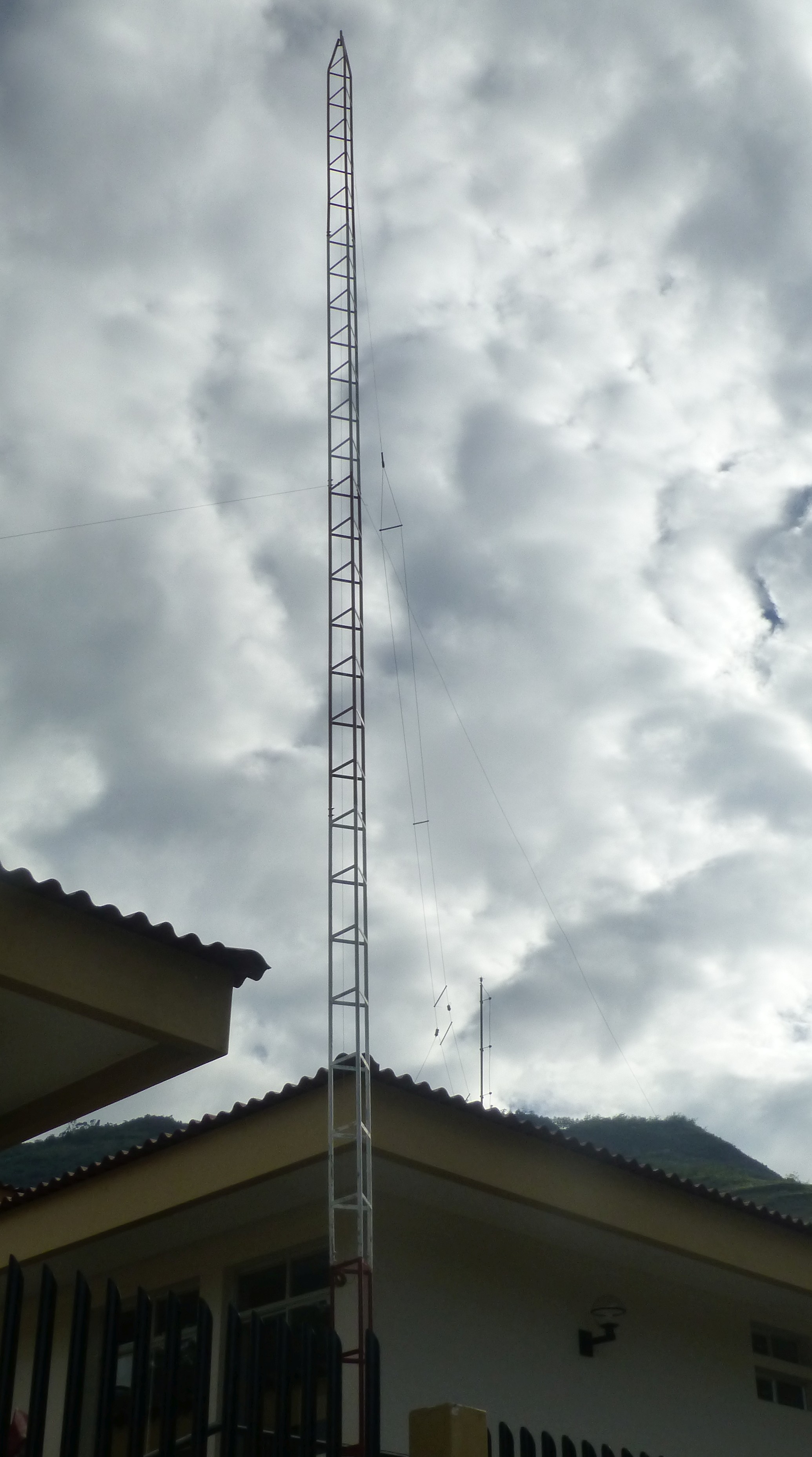
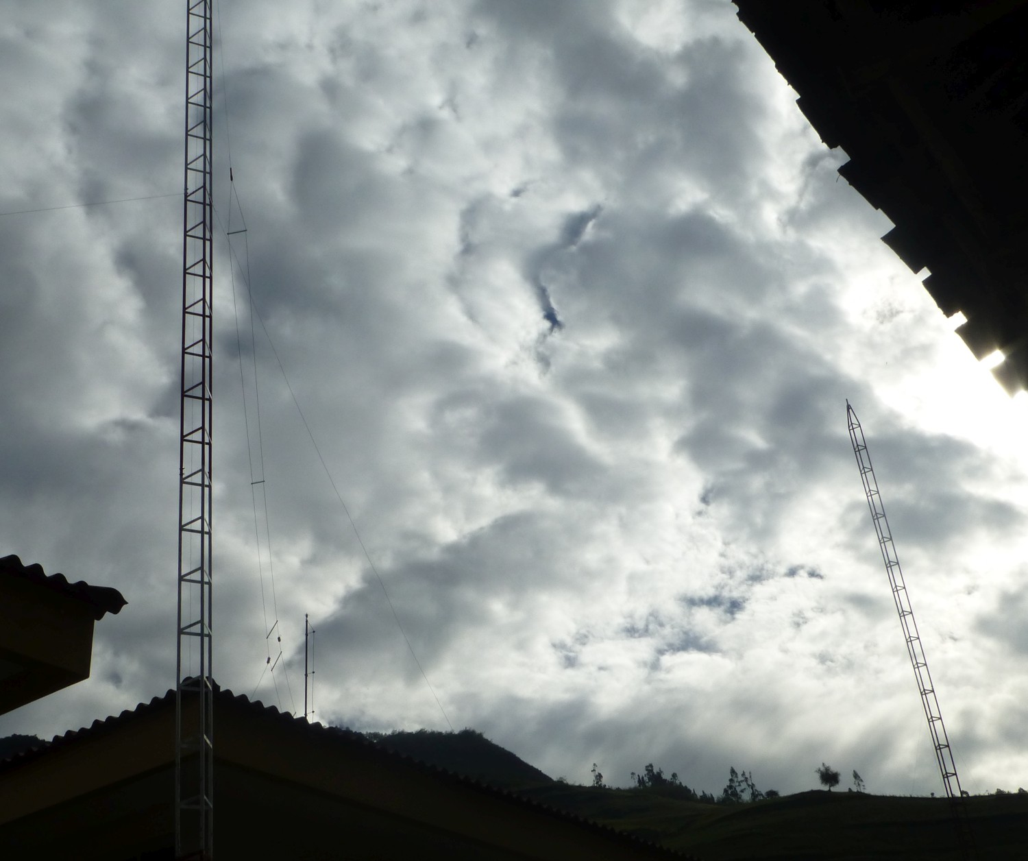
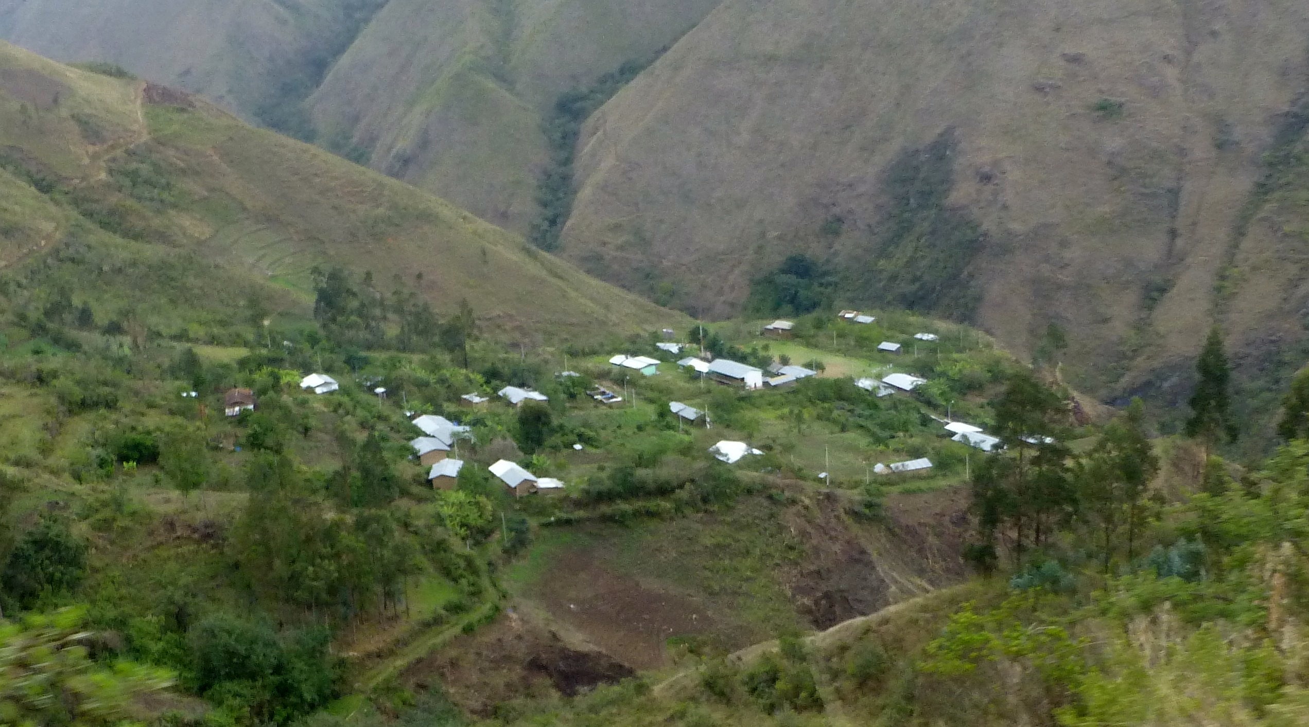
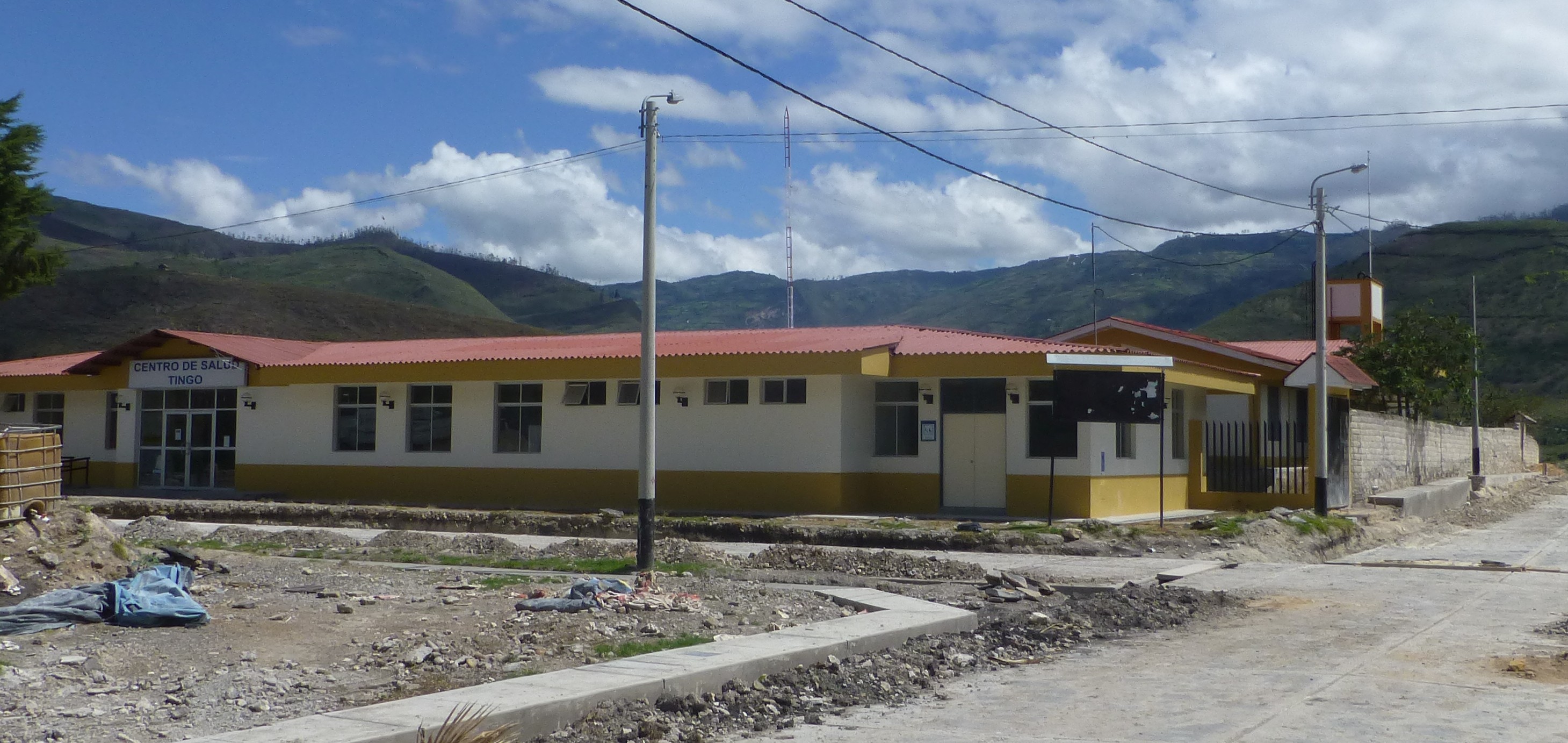
Peruvian Ministry of Health
A few photos of Ministry of Health offices in small towns and villages. They clearly have HF antennas. I monitored several of the listed frequencies while I was in Peru, but never heard a thing. I suspect HF is only used as a back up today. Most towns of any size have cellular coverage.