Utility DX Photos - Ecuador & Colombia
Maritime DX
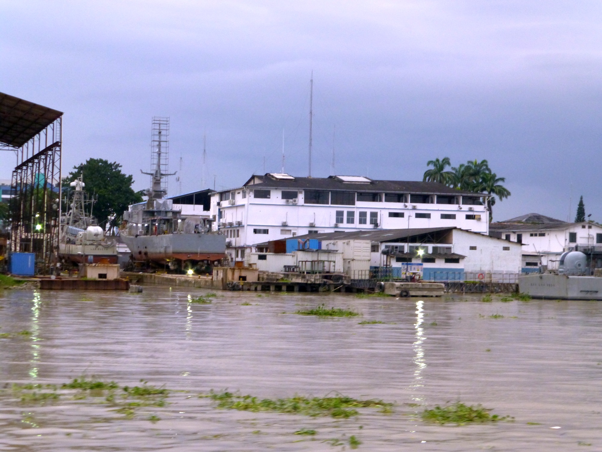
Ecuadorian Navy Vessels at Guayaquil
The base on Google Satellite View
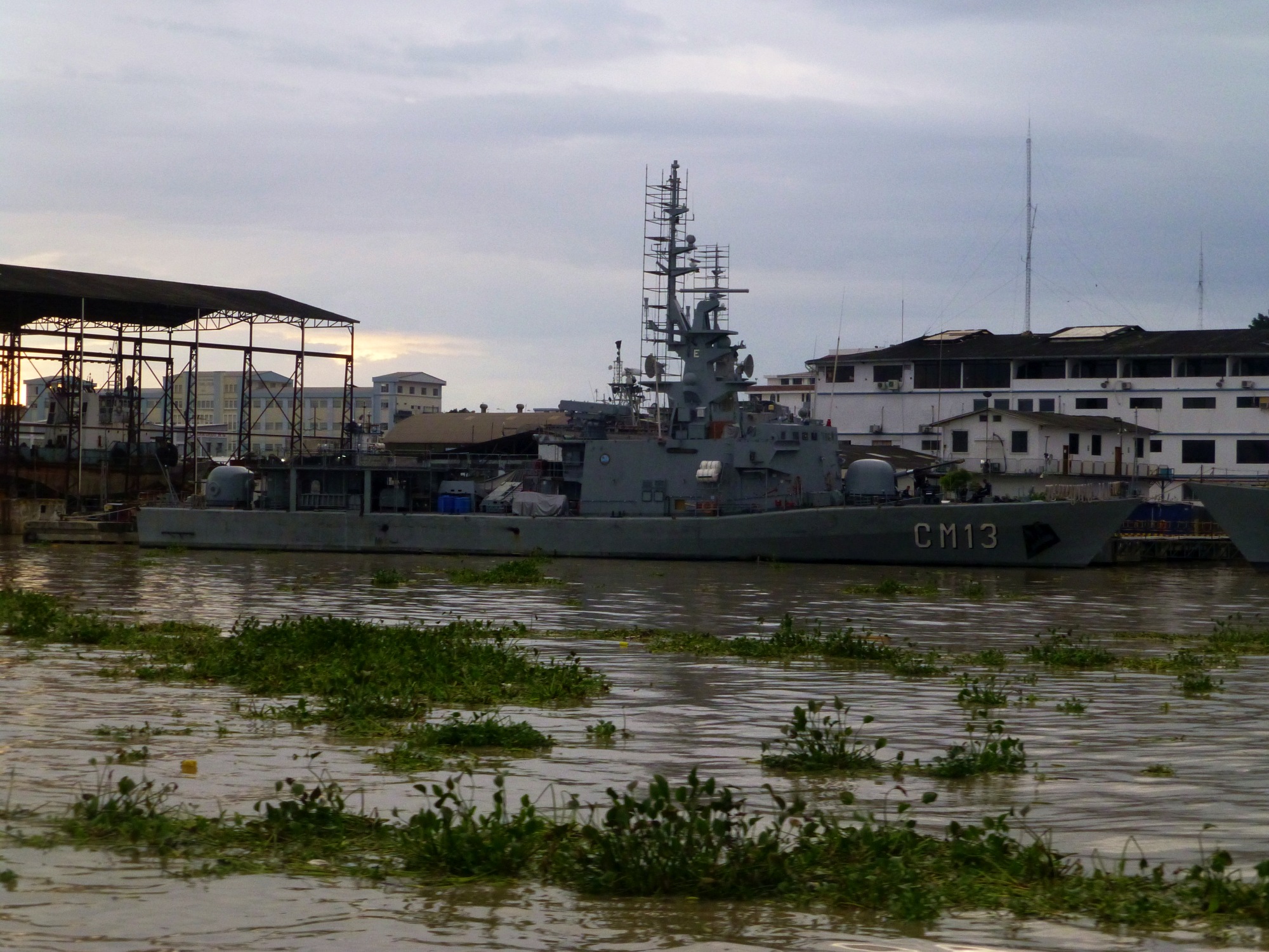
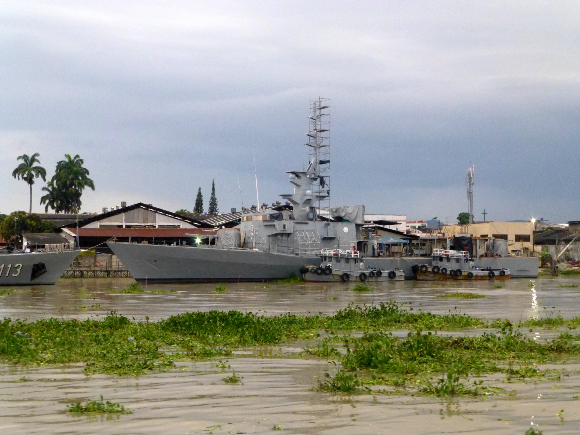
According to Wikipedia, the CM13 is the guided missle corvette Los Rios and was built in Italy. Unfortunately numbers weren't visible on the other vessel.
Aeronautical DX - Colombia
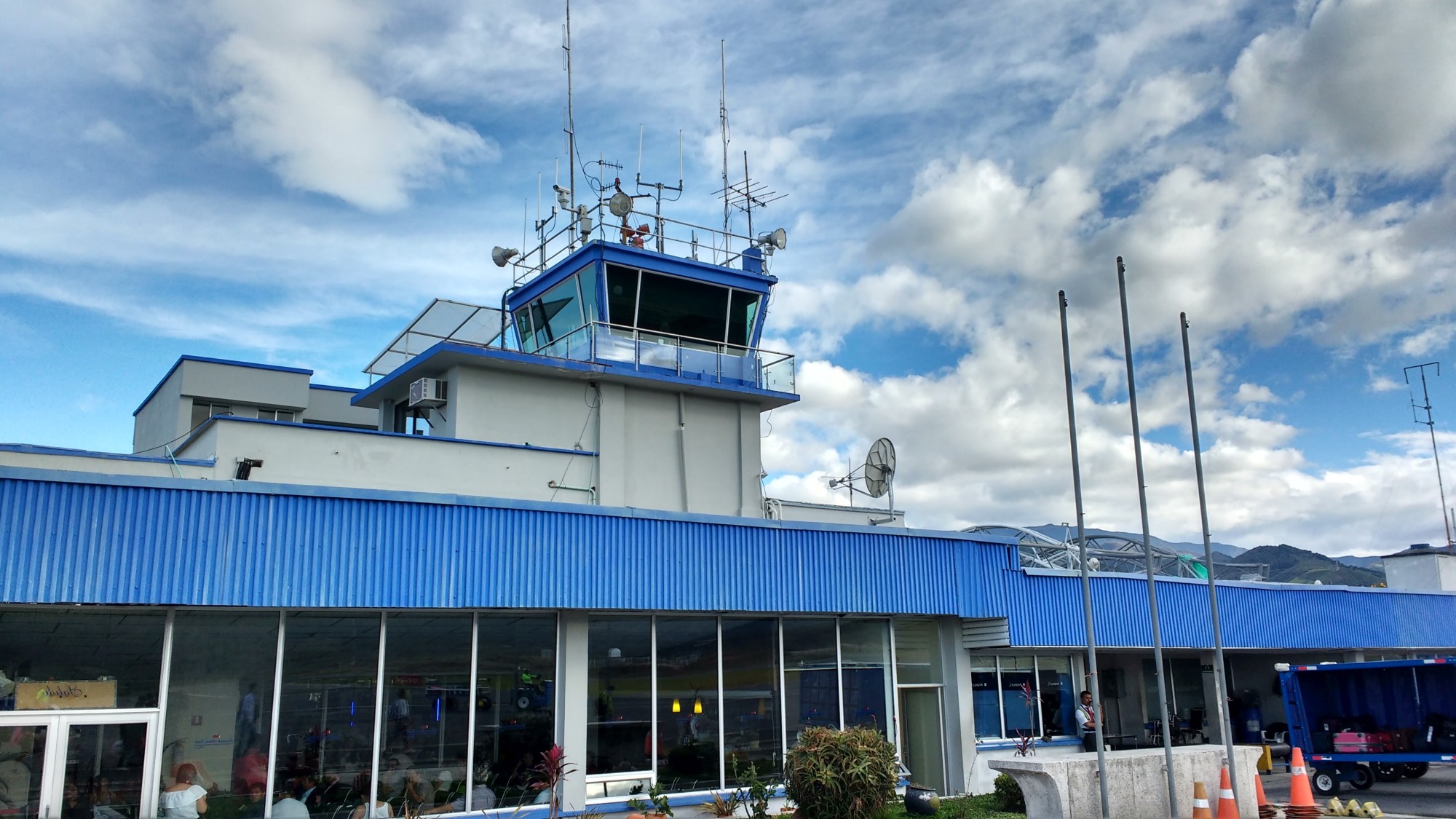
Colombia was another country with easily logged airports in the 1990s. I heard around two dozen on three or four different frequencies. One of those was Pasto, which I later flew into in 2016. Unfortunately, I don't have a recording of that one. Here are two recordings from what I do have. The first is traffic between Ipiales and Popayan, two other airports in southern Colombia. The second is the airport on Providencia island, a small Colombian island in the Caribbean, unsuccessfully calling San Andres, a somewhat larger Colombian island. That is one of my all time best utility DX catches! And San Andres did come on about ten minutes later, so I got them, too.
Audio - 1996 Traffic between Ipiales and Popayan
Audio - 1996 Providencia Island airport calling
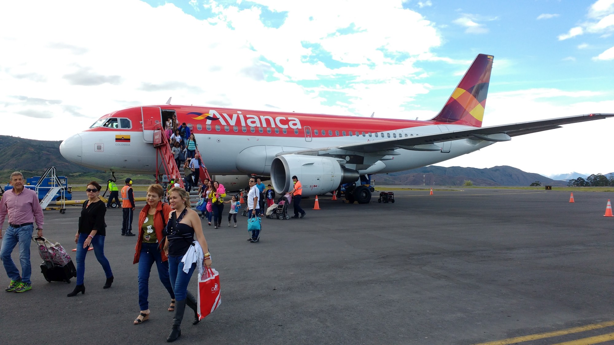
Pasto Airport
 Google Satellite View